Geomatic and Geographic Information Systems (GIS) are often mistaken to mean the same thing as they share some resemblance but are actually two significantly distinct disciplines. It is therefore insightful to explore what is the difference between geomatics and GIS for their optimal and reliable use. Both terms originated from Canada but had significantly different intents.
Dr, Roger Tomlinson
GIS was conceptualized by Dr. Roger Tomlinson in the 1960s as part of the Canada Geographic Information System (CGIS). Tomlinson is regarded as the father of GIS as the term was first used in his paper “A geographic information system for regional planning”. The program proved useful in mapping information on land capability in rural Canada ranging from soils, agriculture, forestry and land use. CGIS adopted a layer approach system to map handling and was therefore unique as compared to the existing mapping methodologies.
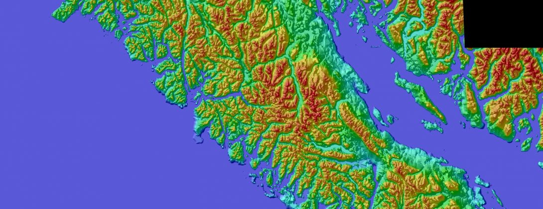
It consequently evolved to a vital computer-based tool for storing, analyzing and manipulating map-based land data. GIS collects geographical information, stores it, analyzes it and visualizes geography on a map. it is thus considered a very important and efficient, tool as it can barely solve or real-world problems with a geographical nature including infrastructure networking, environmental monitoring, climate change among others. It is also cost-effective in providing a solution to data management, analysis and visualization.
Michael Paradis
The term geomatics was first coined by Michael Paradis in the 1980s as a unifying umbrella for the multi-disciplinary challenges that existed at the time. The aim was to develop individual technologies as well as geographic data collection approaches. He believed that combining the different technologies from different fields would ensure synergy. The term also illustrated how modern technology data acquisition was becoming useful in disciplines such as hydrography, photogrammetry, surveying among others.
Differences
For one, Geomatics involves the collection and management of geographically referenced information while GIS involves the collection, storage, analyzing and visualization of geographical information.
While GIS is defined as geographical data stored in layers and integrated with a geographical software to create, store and manipulate spatial information, geomatics involves the processing and delivery of spatially referenced data and is, therefore, more collective.

